Route journal · Sweden
Bohuslän Islands: A coastline best read from the water
A practical, unhurried way to explore Sweden’s western archipelago. A field guide for planning a journey at a human pace.
01 / Field notes
A coastline best read from the water
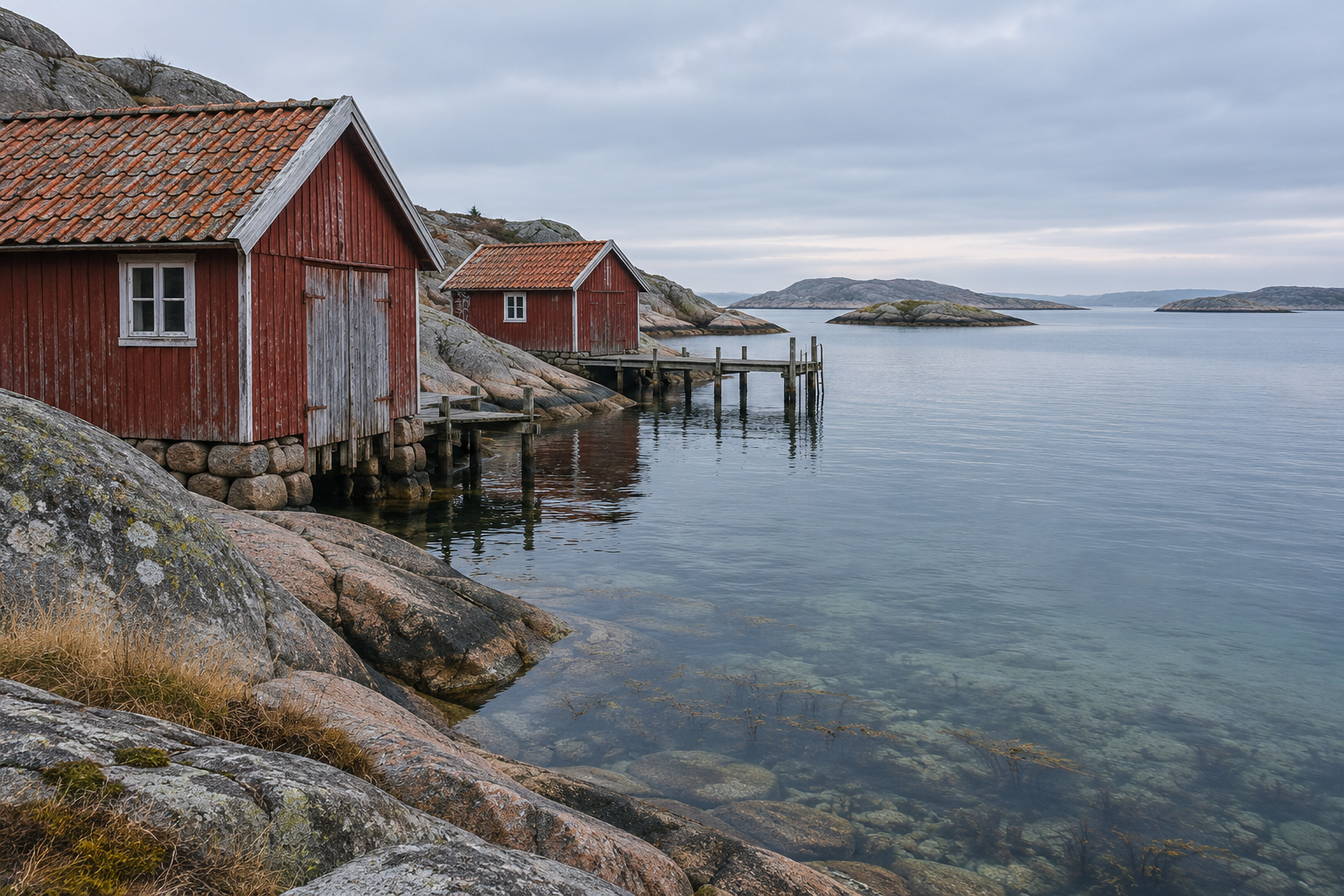
Bohuslän’s granite coast is a place of edges: smooth rock, narrow harbors, wind-shaped pines, and islands separated by short crossings. A rewarding visit does not require a boat of your own. Public ferries connect communities and turn the journey between them into a useful way of seeing the coast. The art is to travel with enough flexibility for weather and seasonal schedules.
A ferry-connected village makes a useful base. The first crossing helps you understand the geography: where protected channels run, which villages face open water, and how the shoreline changes with the light. Once ashore, walking is often the most satisfying way to move. Follow marked paths, keep to durable surfaces, and give nesting birds and private homes room.
Timing & connections
Check the operator’s current schedule for the exact date, note the return sailing, and avoid building a tight sequence around a connection that runs only seasonally. Wind and service changes can alter a day; a simple return plan and time ashore make the trip resilient.
What to carry
Granite can be slippery near the water, and a sunny harbor may feel cool once the boat is moving. Bring a wind layer, shoes with grip, and a refillable bottle. Small settlements may have limited opening hours outside the main season, so plan meals without assuming every quay has a café open.
A slower pace
The sound of a ferry easing away, a line of red sheds behind the pier, or pale granite holding the last warmth of the afternoon can stay with you longer than a packed itinerary. Let the crossing count as part of the visit.